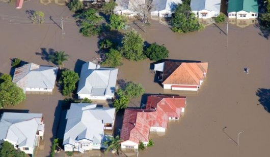
 Researchers at The University of Queensland have used satellites with radar imaging sensors to see through clouds and map flooding and say the technique could provide faster, more detailed information to keep communities safe.
Using satellites for faster flood information
23 Nov 2022


